
From Wikipedia, the free encyclopedia
Jackson County, Mississippi

(Not to be confused with Jackson, Mississippi)
Founded 1812
Named for Andrew Jackson
Seat Pascagoula
Largest city Pascagoula
Area
• Total 1,043.30 sq mi (2,702 km2)
• Land 726.90 sq mi (1,883 km2)
• Water 316.40 sq mi (819 km2), 30.33%
Population
• (2010) 139,668
• Density 181/sq mi (70/km²)
Congressional district 4th
Time zone Central: UTC-6/-5
Website www.co.jackson.ms.us
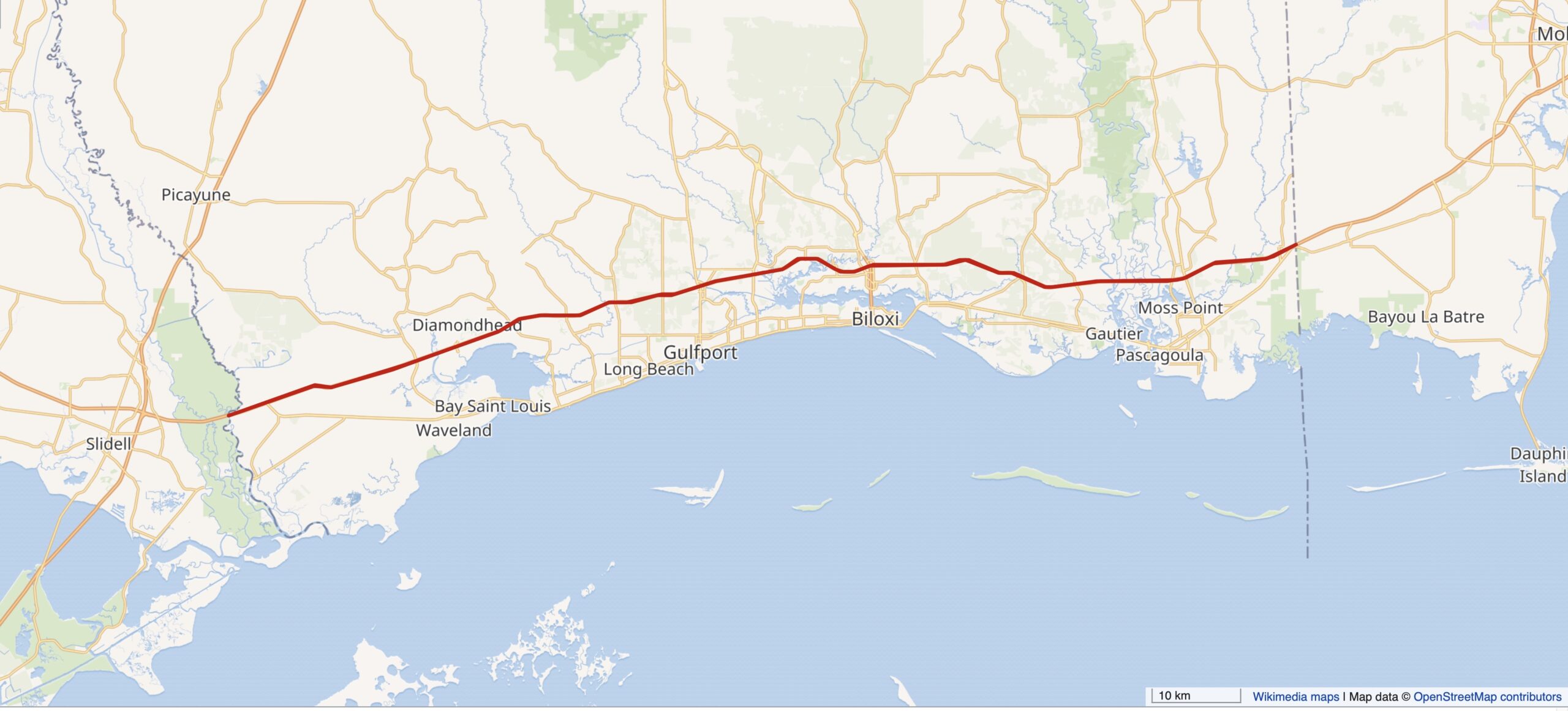
Jackson County, Mississippi, is located at the southeastern tip of the state, bordering the state of Alabama on its east side. As of the 2010 census, the population was 139,668.Its county seat is Pascagoula. the county is named for U.S. President Andrew Jackson.
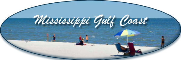
Jackson County is included in the Gulfport-Bilxoi, MS Metropolitan Statistical Area.
The county was severely damaged from both Hurricane Camille in August 1969 and Hurricane Katrina on August 28–29, 2005, causing catastrophic effects.
Geography
According to the 2000 census, the county has a total area of 1,043.30 square miles (2,702.1 km2), the largest county in Mississippi, of which 726.90 square miles (1,882.7 km2) (or 69.67%) is land and 316.40 square miles (819.5 km2) (or 30.33%) is water.
Adjacent counties
George County – north
Mobile County, Alabama – east
Harrison County – west
Stone County – northwest
National protected areas[edit]
De Soto National Forest (part)
Grand Bay National Wildlife Refuge (part)
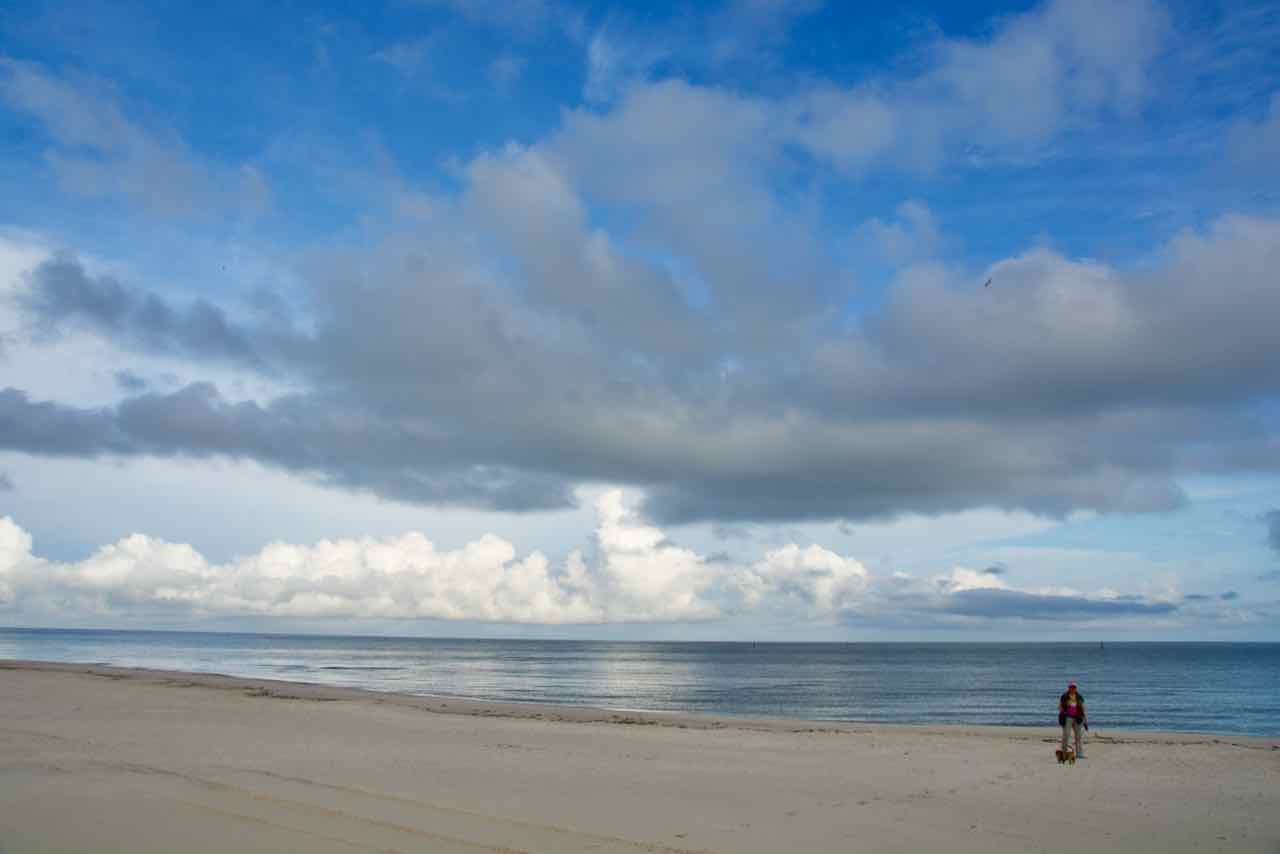
Gulf Islands National Seashore (part)
Mississippi Sandhill Crane National Wildlife Refuge
Demographics
Historical population
Census Pop. %±
1820 1,682
—
1830 1,792 6.5%
1840 1,965 9.7%
1850 3,196 62.6%
1860 4,122 29.0%
1870 4,362 5.8%
1880 7,607 74.4%
1890 11,251 47.9%
1900 16,513 46.8%
1910 15,451 −6.4%
1920 19,208 24.3%
1930 15,973 −16.8%
1940 20,601 29.0%
1950 31,401 52.4%
1960 55,522 76.8%
1970 87,975 58.5%
1980 118,015 34.1%
1990 115,243 −2.3%
2000 131,420 14.0%
2010 139,668 6.3%
Est. 2012 140,298 0.5%
U.S. Decennial Census
2012 Estimate
As of the census of 2000, there were 131,420 people, 47,676 households, and 35,709 families residing in the county. The population density was 181 people per square mile (70/km²). There were 51,678 housing units at an average density of 71 per square mile (27/km²). The racial makeup of the county was 75.35% White, 20.87% Black or African American, 0.33% Native American, 1.57% Asian, 0.04% Pacific Islander, 0.72% from other races, and 1.12% from two or more races. 2.14% of the population were Hispanic or Latino of any race.
There were 47,676 households out of which 37.00% had children under the age of 18 living with them, 55.70% were married couples living together, 14.50% had a female householder with no husband present, and 25.10% were non-families. 20.80% of all households were made up of individuals and 7.10% had someone living alone who was 65 years of age or older. The average household size was 2.72 and the average family size was 3.14.
In the county the population was spread out with 27.70% under the age of 18, 9.30% from 18 to 24, 29.80% from 25 to 44, 22.90% from 45 to 64, and 10.30% who were 65 years of age or older. The median age was 35 years. For every 100 females there were 98.20 males. For every 100 females age 18 and over, there were 95.90 males.
The median income for a household in the county was $39,118, and the median income for a family was $45,091. Males had a median income of $32,996 versus $22,770 for females. The per capita income for the county was $17,768. About 10.50% of families and 12.70% of the population were below the poverty line, including 17.80% of those under age 18 and 12.10% of those age 65 or over.
Jackson County has the eighth highest per capita income in the State of Mississippi.
Communities
Cities
Gautier
Moss Point
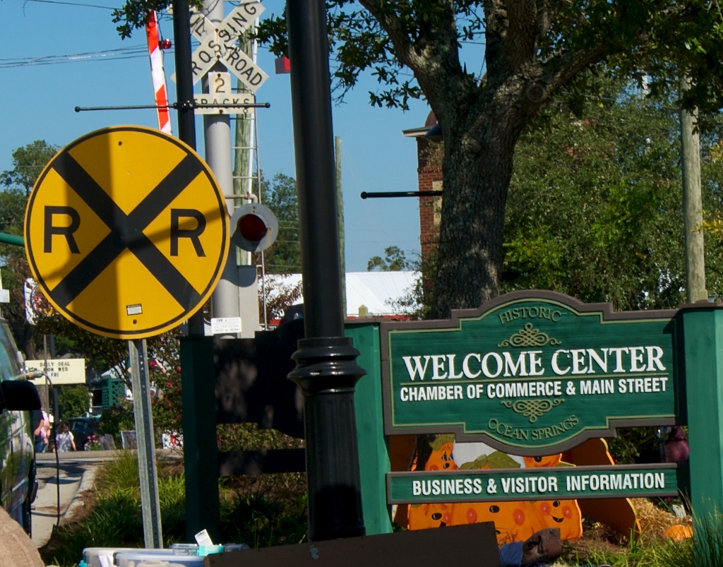
Ocean Springs
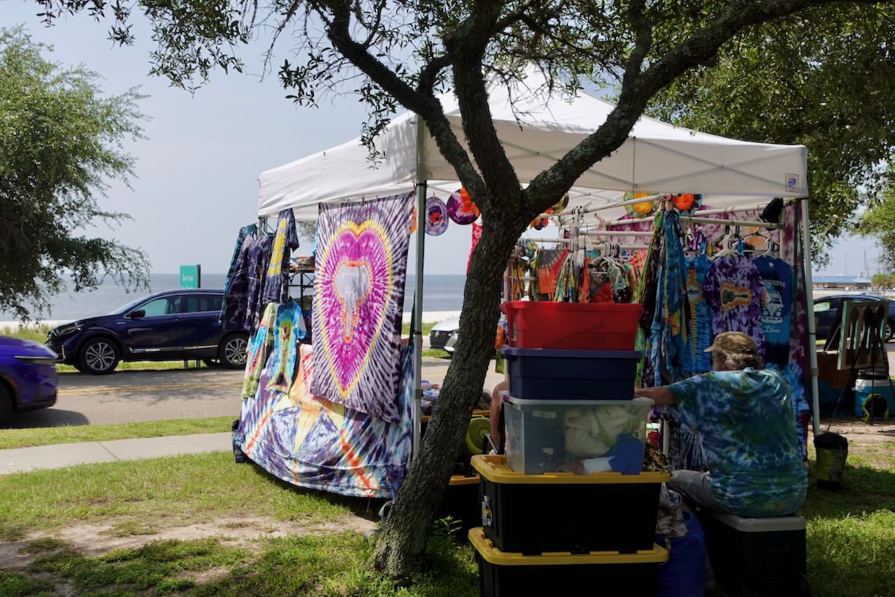
Pascagoula
Census-designated places
Big Point
Escatawpa
Gulf Hills
Gulf Park Estates
Helena
Hickory Hills
Hurley
Latimer
St. Martin
Vancleave
Wade
Unincorporated places
Eastlawn
East Moss Point
Eastside
Fontainebleau
Gulf Islands National Seashore
Iowana
Kreole
Larue
Navy Homeport
Orange Grove
Pecan
Polfry
Three Rivers
Windsor Park
Vestry
Ghost towns
Brewton
Education
The Jackson County School District serves the Hurley, Wade, Big Point, Three Rivers, Cumbest Bluff, Harleston, Vestry, Latimer, and Vancleave communities along with parts of Ocean Springs and Escatawpa. The Pascagoula School District serves Pascagoula and the City of Gautier. The Moss Point School District serves Moss Point, Mississippi and part of Escatawpa, Mississippi. The Ocean Springs School District serves most of Ocean Springs.
See also
Portal icon Mississippi portal
Portal icon Schools portal
National Register of Historic Places listings in Jackson County, Mississippi
L.N. Dantzler Lumber Company
References
“State & County QuickFacts”. United States Census Bureau. Retrieved September 3, 2013.
“Find a County”. National Association of Counties. Retrieved 2011-06-07.
“Census 2010 Gazetteer Files”. Retrieved July 2, 2013.
“U.S. Decennial Census”. Census.gov. Retrieved September 3, 2013.
“American FactFinder”. United States Census Bureau. Retrieved 2008-01-31.
External links
Official Web Site of Jackson County, Mississippi
Subcategories
▪ Ocean Springs Ocean Springs
Article Count:
1
▪ Gautier Gautier
Article Count:
1
▪ Pascagoula Pacagoula
Article Count:
1
▪ Moss Point Moss Point